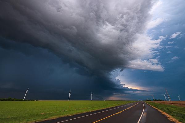
A new technique combining underused satellite and radar data in weather models may improve predictions of thunderstorms, according to a Penn State-led team of scientists.
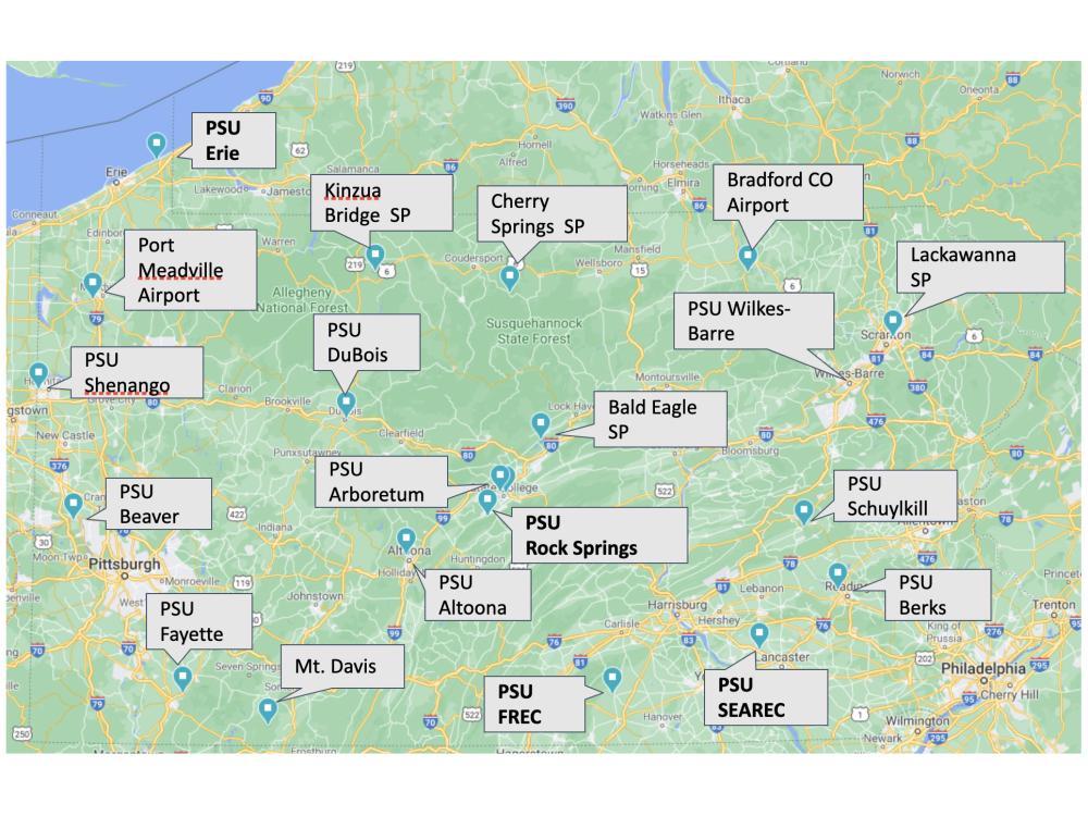
Penn State has established a publicly available, environmental monitoring network to provide enhanced surveillance of atmospheric and soil conditions across Pennsylvania. The Pennsylvania Environmental Monitoring Network currently consists of 17 stations, with plans soon to more than double that number to 50 stations across the commonwealth. The network consists of monitoring equipment located at Penn State campuses and research facilities, state parks, and airports around the state.
Even from the Arctic Circle in Alaska, Penn State professor Jose Fuentes is inspiring his students to learn and grow
A recent study by an international team of scientists including Raymond Najjar, professor of oceanography at Penn State, found that the flows of carbon through the complex network of water bodies that connect land and ocean has often been overlooked and that ignoring these flows overestimates the carbon storage in terrestrial ecosystems and underestimates sedimentary and oceanic carbon storage.
The researchers are participating in the Prediction of Rainfall Extremes Campaign in the Pacific (PRECIP), a $6 million field campaign in Taiwan and Japan funded by the National Science Foundation to improve our understanding of the processes that produce extreme precipitation.
Sea–surface salinity levels in the Pacific and Atlantic oceans can presage heavy rains in the Midwestern United States.
Weak electrical discharges, called corona, can form on tree leaves during thunderstorms
For fledgling forecasters and budding broadcasters, the Campus Weather Service at Penn State has a reputation for real-world readiness.


